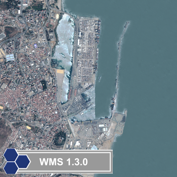
Servicio WMS. Ortoimagen Litoral de Andalucía (2005)
La ortoimagen ha sido generada, a partir de las imágenes del satélite Quickbird, tomadas en el periodo de abril a noviembre de 2005, con una resolución geométrica de 0.7 m.. Esta ortoimagen se presenta organizada según la distribución de hojas del Mapa Topográfico de Andalucía 1:10.000. Es el resultado de la colaboración de la Dirección General de Urbanismo y del Instituto de Cartografía de Andalucía.
Simple
Identification info
- Date (Revision)
- 2011-11-23T11:34:00
- Status
- Completed
- Point of contact
-
Organisation name Individual name Electronic mail address Role Consejería de Fomento. Junta de Andalucía.
Coordinador GIS
Point of contact
- Keywords
-
-
IDEE_INSPIRE
-
IDEAndalucia
-
- Place
-
-
Andalucía
-
-
GEMET - INSPIRE themes, version 1.0
-
-
Ortoimágenes
-
- Theme
-
-
humanGeographicViewer
-
- Use limitation
-
Autorizada la reutilización no comercial citando la autoría.
- Access constraints
- License
- Use constraints
- License
- Service Type
- view
- Service Version
-
1.1.1
- Fees
-
none
))
- Coupling Type
- Tight
- Contains Operations
-
Operation Name Distributed Computing Platforms Connect Point GetCapabilities
Web services http://www.juntadeandalucia.es/fomentoyvivienda/NodoIDE/Servicios/WMS/litoral? GetMap
Web services http://www.juntadeandalucia.es/fomentoyvivienda/NodoIDE/Servicios/WMS/litoral? GetFeatureInfo
Web services http://www.juntadeandalucia.es/fomentoyvivienda/NodoIDE/Servicios/WMS/litoral?
- Distribution format
-
Name Version
- OnLine resource
-
Protocol Linkage Name OGC:WMS-1.1.1-http-get-map
http://www.juntadeandalucia.es/fomentoyvivienda/NodoIDE/Servicios/WMS/litoral?
- Hierarchy level
- Service
Attributes
Conformance result
- Date (Publication)
- 2010-12-08
Citation identifier
- Explanation
-
Consultar el reglamento mencionado
- Pass
- Yes
Metadata
- File identifier
- dea0902b-a26f-4404-945f-9e8bd7def6c6 XML
- Metadata language
- Spanish; Castilian
- Character set
- UTF8
- Hierarchy level
- Service
- Date stamp
- 2020-01-21T10:34:51
- Metadata standard name
-
ISO 19119/2005
- Metadata standard version
-
1.0
- Metadata author
-
Organisation name Individual name Electronic mail address Role Instituto de Estadística y Cartografía de Andalucía. Junta de Andalucía
Coordinador GIS
Point of contact
Overviews
Spatial extent
Provided by
