Servicio WMS. Ortofotografía de Andalucía (2007)
Servicio WMS perteneciente al nodo del Instituto de Estadística y Cartografía de Andalucía e Integrado en la Infraestructura de Datos Espaciales de Andalucía siguiendo las directrices del Sistema Cartográfico de Andalucía.
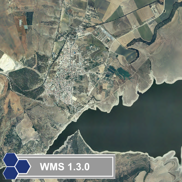
La Ortofoto digital de Andalucía 2007 ha sido generada a partir del vuelo digital realizado en el año 2007 de 0.90 metros de resolución geométrica, con información RGB e infrarrojo, con la cámara métrica digital Z/I Imaging DMC y con una cobertura estereoscópica de toda la zona de trabajo. Se ha optenido una fotografía continua, tanto radiométricamente como geométricamente, de la Comunidad Autónoma de Andalucía a una resolución geométrica de un metro y con información RGB y de Infrarrojo.
Simple
Identification info
- Date (Revision)
- 2011-11-22
- Point of contact
-
Organisation name Individual name Electronic mail address Role Instituto de Estadística y Cartografía de Andalucía. Junta de Andalucía
Point of contact Instituto de Estadística y Cartografía de Andalucía. Junta de Andalucía
Custodian
-
WebServicesSpecification
-
-
1.3.0
-
WMS
-
OGC
-
-
INSPIRE Service taxonomy
-
-
infoMapAccessService
-
- Keywords
-
-
Instituto de Estadística y Cartografía de Andalucía. Junta de Andalucía
-
Ortoimágenes
-
- Access constraints
- Other restrictions
- Other constraints
- Sin limitaciones al acceso público.
- Use constraints
- Other restrictions
- Other constraints
- CC BY 4.0
- Other constraints
-
https://www.juntadeandalucia.es/institutodeestadisticaycartografia/ieagen/avisoLegal/index.htm
- Service Type
- view
))
- Coupled Resource
-
Operation Name Scoped name Identifier GetCapabilities
Catálogo IDEAndalucía {ADFB5BEB-AC8C-49D8-8F7D-CBA6729E7407}_100102_es
- Coupling Type
- Tight
- Contains Operations
-
Operation Name Distributed Computing Platforms Connect Point GetCapabilities
Web services http://www.ideandalucia.es/wms/ortofoto2007?request=GetCapabilities&service=WMS&version=1.3.0 GetMap
Web services http://www.ideandalucia.es/wms/ortofoto2007?SERVICE=WMS GetFeatureInfo
Web services http://www.ideandalucia.es/wms/ortofoto2007?SERVICE=WMS
- Operates On
- Unique resource identifier
- ETRS89 / UTM zona 30N
- Unique resource identifier
- ETRS89 / UTM zone 30N (N-E)
- Distribution format
-
- OnLine resource
-
Protocol Linkage Name OGC Web Map Service http://www.ideandalucia.es/wms/ortofoto2007?REQUEST=GetCapabilities&SERVICE=WMS&VERSION=1.3.0 Servicio de visualización WMS de Ortofotografía de Andalucía (2007)
- Hierarchy level
- Service
- Other
-
Servicio web de datos espaciales. Servicio de visualización
Conformance result
Conformance result
Conformance result
Metadata
- File identifier
- 960fb379-6f45-484a-83d3-ad182e4424ba XML
- Metadata language
- Spanish; Castilian
- Hierarchy level
- Service
- Hierarchy level name
-
Servicio
- Date stamp
- 2023-07-20
- Metadata standard name
-
Reglamento (CE) Nº 1205/2008 de Inspire
- Metadata standard version
-
TG 2.0
- Metadata author
-
Organisation name Individual name Electronic mail address Role Instituto de Estadística y Cartografía de Andalucía. Junta de Andalucía
Point of contact
Overviews
Spatial extent
Provided by
